-40%
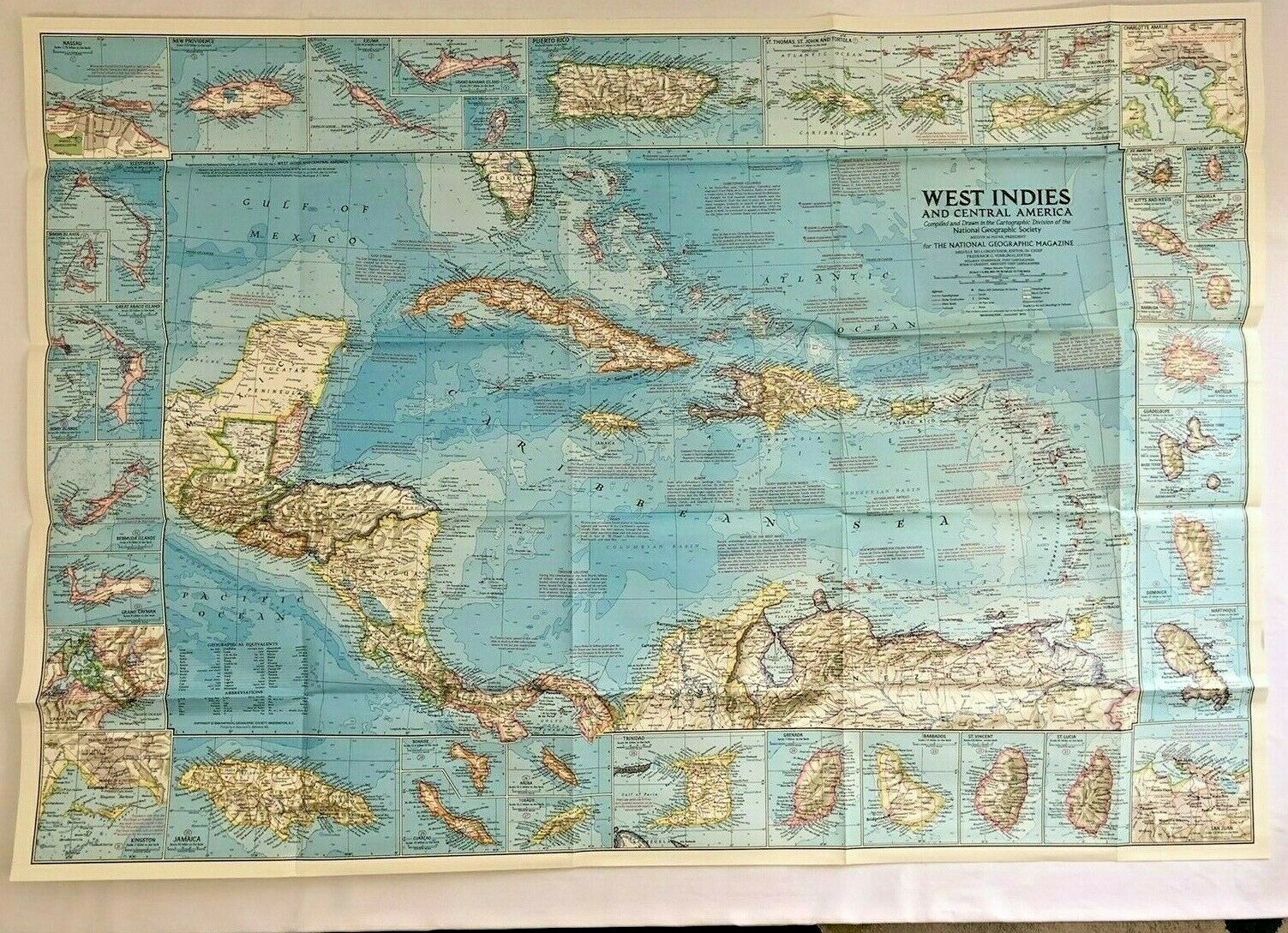
1970 January National Geographic Original Map of WEST INDIES AND CENTRAL AMERICA
$ 2.61
- Description
- Size Guide
Description
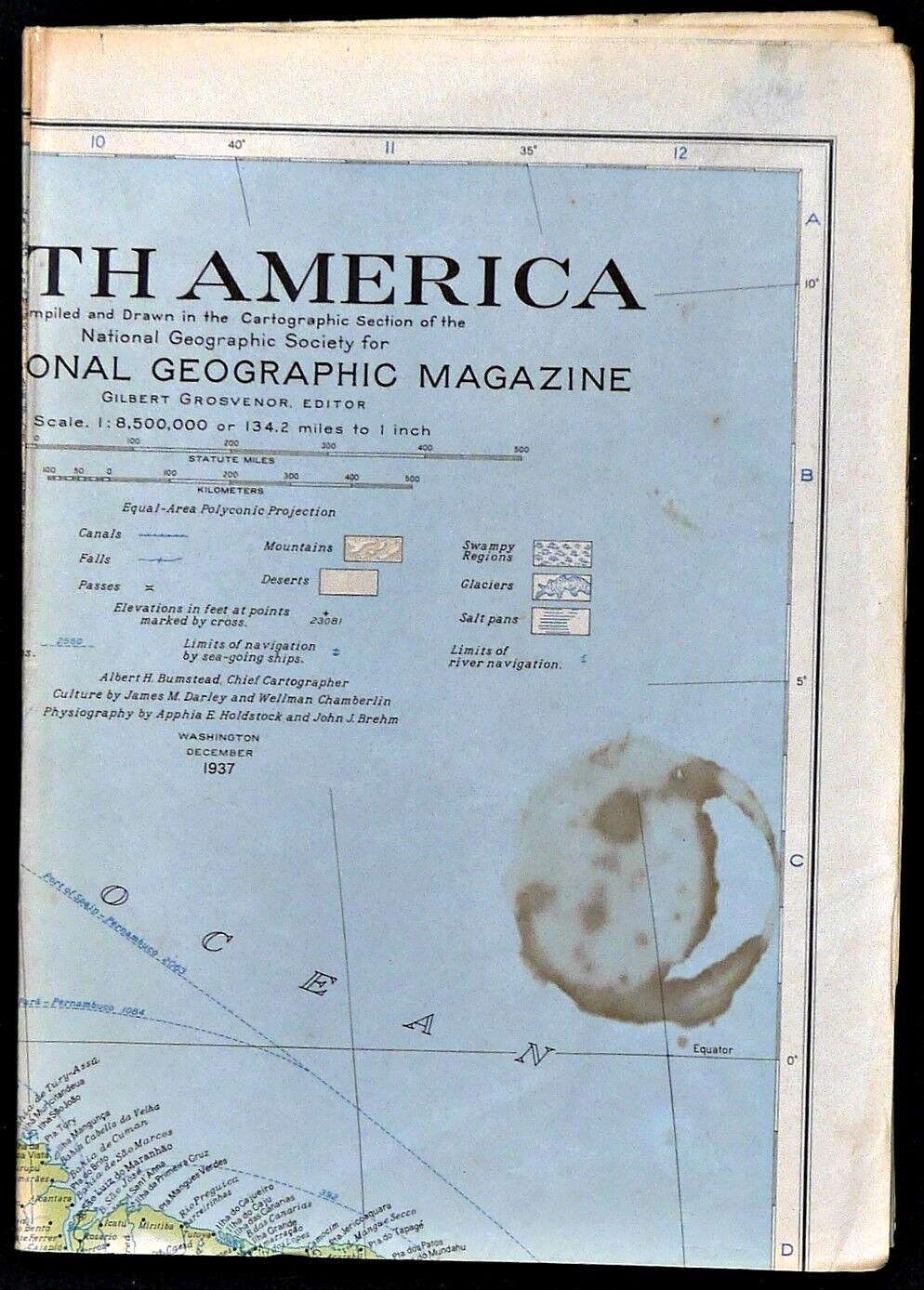
1970 January Vintage Original Map WEST INDIES AND CENTRAL AMERICA National Geographic1970 West Indies and Central America Map
This wonderfully detailed map of the West Indies and Central America includes inset maps of over thirty islands, four cities, and the Panama Canal. A particularly unique feature of this map is the splashdown points of various space missions. Published in January 1970 to accompany the article "The Netherlands Antilles: Holland in the Caribbean."
Map is approximately
38" x 26.5"
The National Geographic is known for it's fine maps & detailed information. Supplement to the National Geographic Magazine; magazine is not included.
