-40%
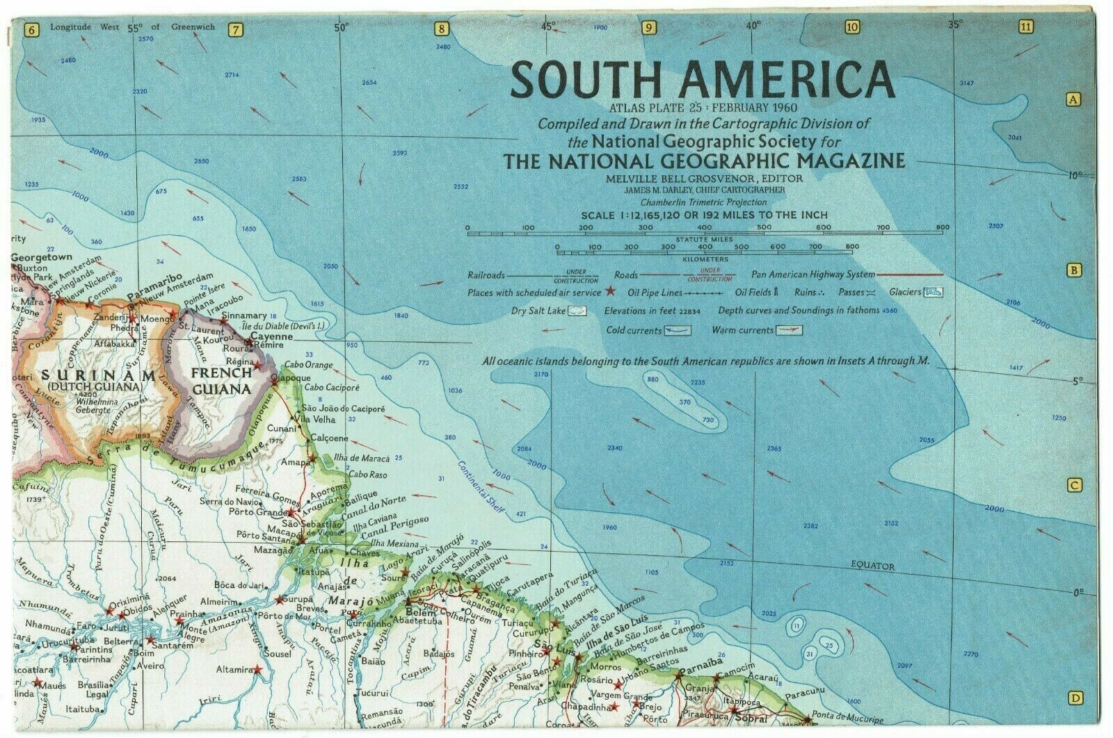
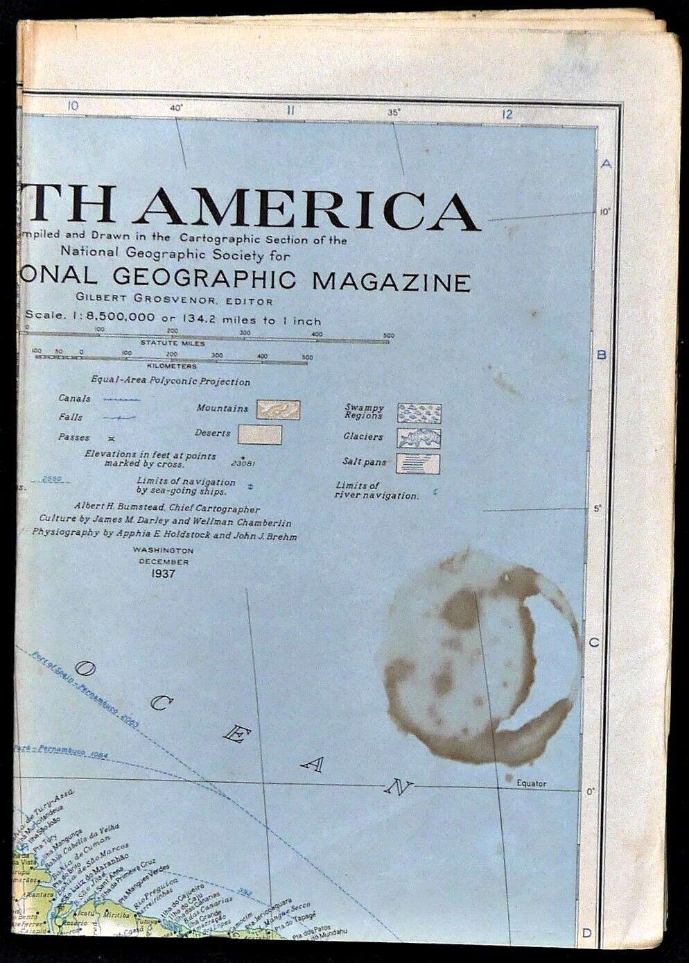
⫸ 1960-2 February Original Map SOUTH AMERICA National Geographic One-sided - A1
$ 2.24
- Description
- Size Guide
Description
⫸1960-2 February Original Map SOUTH AMERICA National Geographic
One-sided classic National Geographic map of the entire continent of South America with map insets of the Strait of Magellan; the Falkland Islands; Fernando de Noronha; Trindade; Atol del Rocas; St Peter and St Paul Rocks; Martin Vaz Islands; Easter Island; Sala Y Gomez; San Ambrosio and San Felix Islands; Juan Fernandez Islands; and the Galapagos Islands.
Map is approximately 19” x 25”.
The National Geographic is known for it's fine maps & detailed information.
Supplement to the National Geographic Magazine; magazine is not included.
Always use your cart when ordering more than one item!
U.S. Shipping
-
USPS Mail Service (average delivery time) .00 for the first item and
{{detail_product_description}}.90
for each additional item.
U.S. economy domestic shipping (normally 3-10 business days) is .00/map; faster service is available if needed.
